
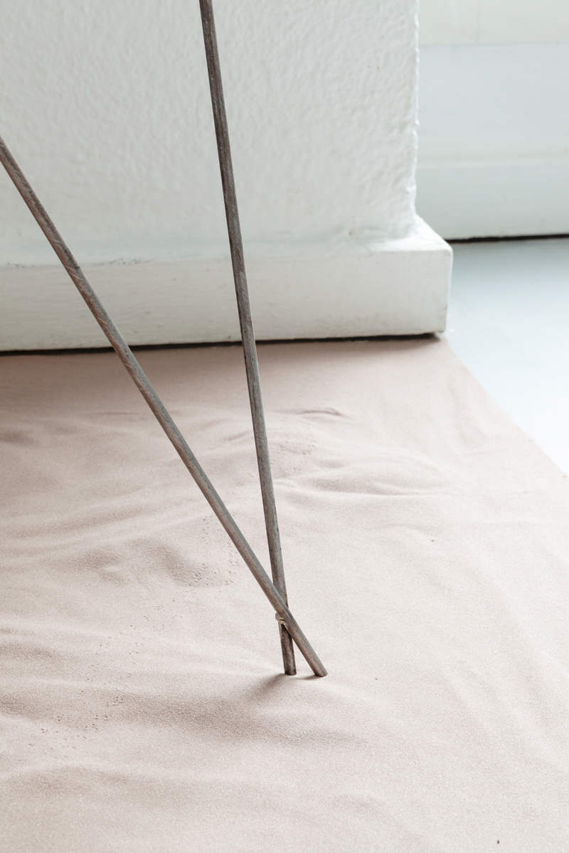
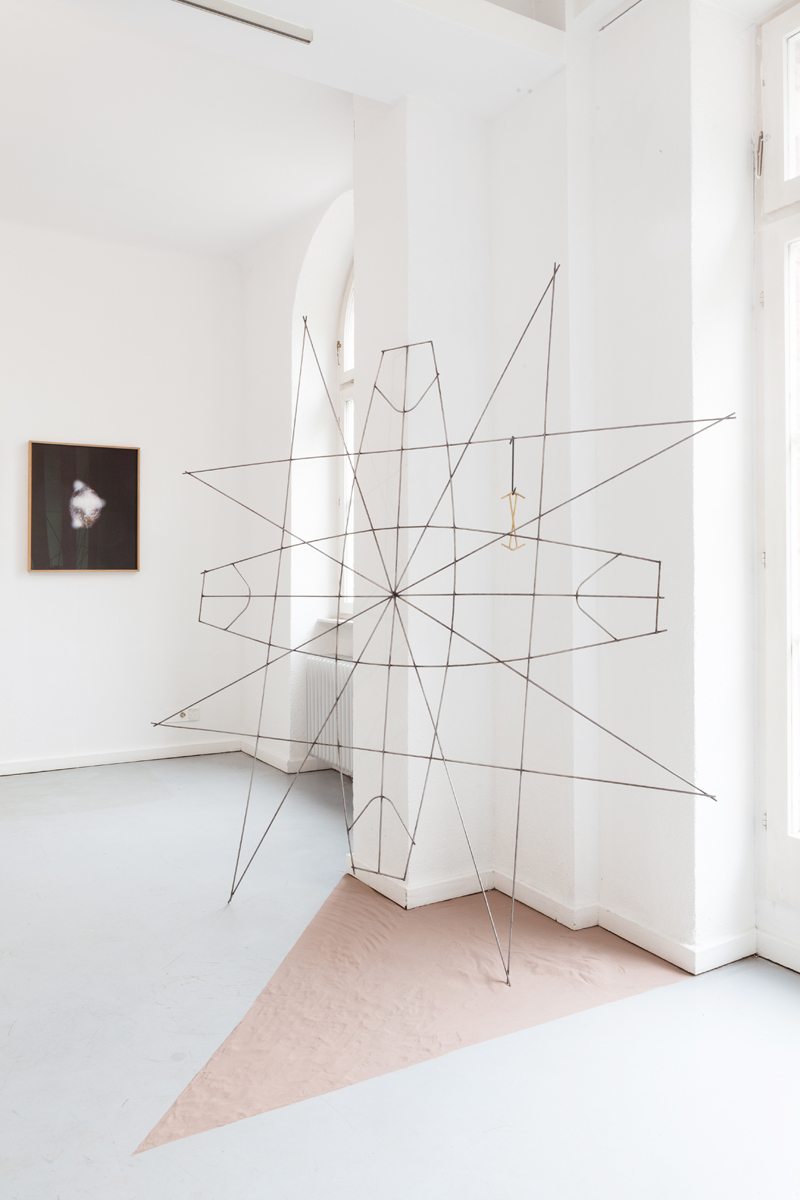

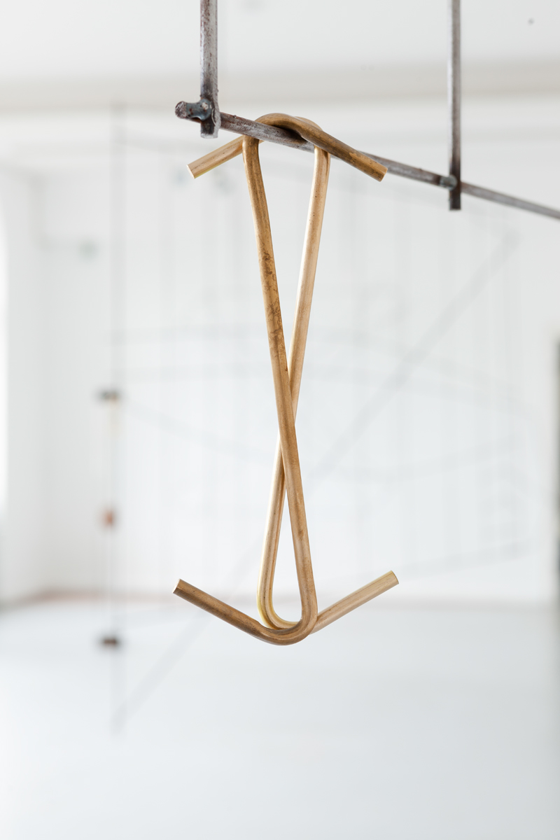

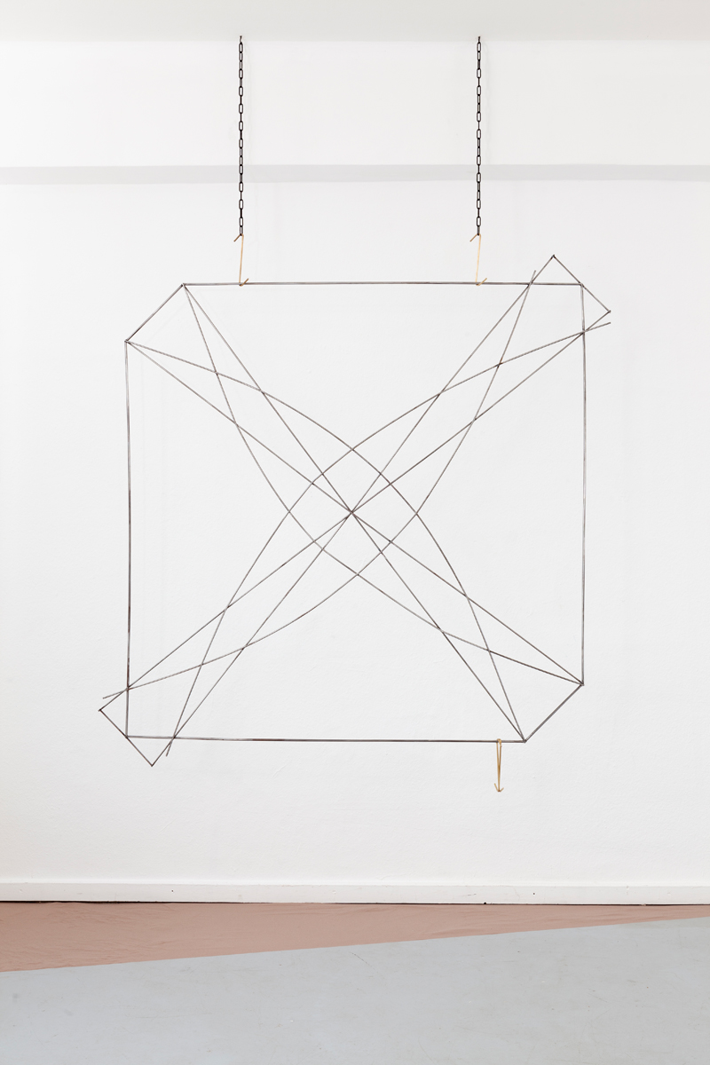
Stick charts were made by the ancient Polynesian sailors who navigated the Pacific Ocean, including the Marshall Islands, by canoe. The charts represent major ocean swell patterns and the ways the islands disrupt those patterns, according to the map-maker’s personal experience. Most stick charts are made from the mid-ribs of coconut fronds, tied together to form an open framework. Island locations are represented by shells tied to the framework, or by the lashed junction of two or more sticks. The ancient art of navigation, once an essential skill for the survival of man, has withered away to the mere gesture of asking an app where we are located and where we are going. Far more than three thousand years ago, the first peoples populated the islands of the Pacific Ocean. Their world was flat and of an unimaginable vastness – the surface area of the Pacific is larger than all of the Earth’s landmasses combined. They travelled across thousands of miles of open ocean, using only their senses and the knowledge passed through oral tradition from teacher to apprentice. Polynesian navigators memorized the motion of specific stars and read the shape of clouds, the colors of the sea, the behavior of plants and animals, and, perhaps most intriguingly, the waves themselves. Crouched low in a wooden canoe, the navigator felt an island coming by interpreting the swells beneath his vessel.The work oscillates around the postcolonial discourse in times of rising sea levels.
#Nuclear Sanctuary #Kunstverein Wilhelmshöhe Ettlingen# 2018#stickchart#mapmaking#cartography#navigation#postcolonialism#posthumanism#risingsealevels#pacificocean